|
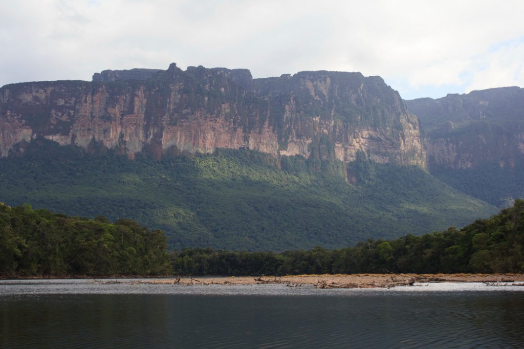 |
| The most western part of the Auyantepui | |
| Latitude: N 6°5'24,83" | Longitude: W 62°41'11,21" | Altitude: 438 metres | Location: Mayupa | State/Province: Estado Bolívar | Country: Venezuela | Copyright: Ron Harkink | See map | |
| Total images: 70 | Help | |
|
|
|
| The most western part of the Auyantepui | |
| Latitude: N 6°5'24,83" | Longitude: W 62°41'11,21" | Altitude: 438 metres | Location: Mayupa | State/Province: Estado Bolívar | Country: Venezuela | Copyright: Ron Harkink | See map | |
| Total images: 70 | Help | |